
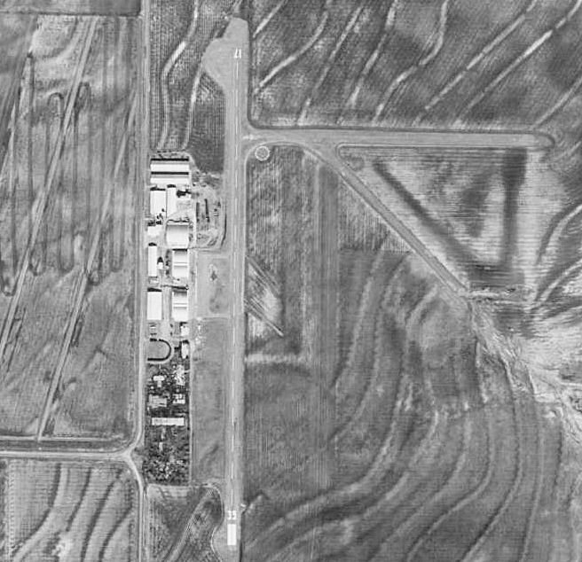

Arledge Field - F56
Location
FAA Identifier: F56Lat/Long: 32-54-37.7000N 099-44-03.0000W
32-54.628333N 099-44.050000W
32.9104722,-99.7341667
(estimated)
Elevation: 1560.8 ft. / 475.7 m (surveyed)
Variation: 06E (2010)
From city: 4 miles SE of STAMFORD, TX
Time zone: UTC -5 (UTC -6 during Standard Time)
Zip code: 79553
Location
FAA Identifier: F56Lat/Long: 32-54-37.7000N 099-44-03.0000W
32-54.628333N 099-44.050000W
32.9104722,-99.7341667
(estimated)
Elevation: 1560.8 ft. / 475.7 m (surveyed)Variation: 06E (2010)
From city: 4 miles SE of STAMFORD, TX
Time zone: UTC -5 (UTC -6 during Standard Time)
Zip code: 79553
Airport Operations
Airport use: Open to the public
Activation date: 09/1941
Control tower: no
ARTCC: FORT WORTH CENTER
FSS: FORT WORTH FLIGHT SERVICE STATION
NOTAMs facility: FTW (NOTAM-D service available)
Attendance: UNATNDD
Wind indicator: lighted
Segmented circle: yes
Lights: ACTVT MIRL RWY 17/35 - CTAF.
Beacon: white-green (lighted land airport)
Operates sunset to sunrise.
Airport Communications and Services
CTAF/UNICOM: 122.8
ABILENE APPROACH: 127.2
ABILENE DEPARTURE: 127.2
Fuel available: 100LL
Parking: hangars and tiedowns
Airframe service:
Powerplant service:
Bottled oxygen: NONE
Bulk oxygen: NONE